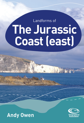
Landforms of the Jurassic Coast (East)
About this book
Each guide in this series provides an overview of the key geographical landforms of the region, the processes that formed them, and the underlying geology. The guides describe the landforms and exemplify key geomorphological processes using clear, non-technical language supported by photographs, diagrams, and maps. They can be used in the planning and preparation for field visits and for follow-up classroom learning and activities. This guide describes classic coastal landforms of the eastern half of the world-renowned Jurassic Coast, focusing on landforms between Portland Bill and Old Harry. It also provides details of significant landforms at Studland and Hengistbury Head in eastern Dorset. The important roles of geology and sea level change are considered in the development of the landforms along this stretch of coast.
Related books